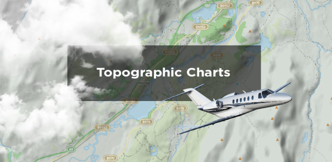
New Topographic Charts Are Available for Apps
29 May 2015
{{vendor.Name}}
Connect with Aircraft IT
Click here to learn about free Membership to Aircraft IT
New Topographic Charts Are Available for Apps
RocketRoute is pleased to announce that new topographic charts are now available in our system!
(NOTE: available for iPad/Android Apps only).
This data is prepared and enriched for aviation purposes using OSM data.
Install this product today and make you VFR flying easy and pleasant! One time purchase, annual updates available.
Just go to the shop page and choose the necessary country and chart. After purchase instantly download charts to iPad, iPhone or Android device.

Do not forget about the main advantages of Rocketroute Apps that allow to prepare flights, file flight plans and navigate using a moving map capability in-flight.
Rocketroute has integrated two types of charts into the system to meet all your requirements! Charts are available under the 1: 250 000 scale and 1:500 000 scale.
Charts are downloaded in full and remain available during flight for navigational use.
Detailed map information includes:
– Motorways, Roads, Tracks
– Buildings, Villages, Towns and Cities
– Terrain data
– Rivers, Forests
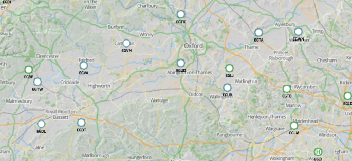
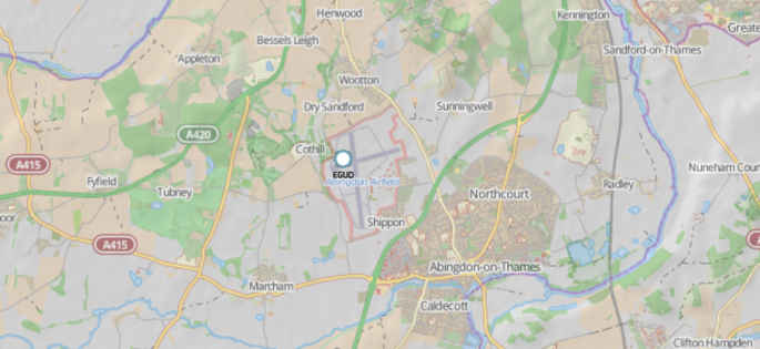
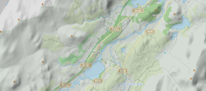
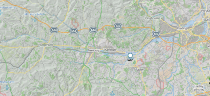
1:250 000 Charts
RocketRoute 1:250,000 Topographic Charts provide detailed terrain information for helicopter, gliding and fixed wing navigation and flight planning.
Ideal for VFR and Yankee and Zulu flight planning.
Check examples of screenshots for the UK below.
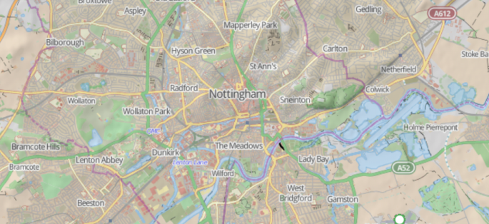
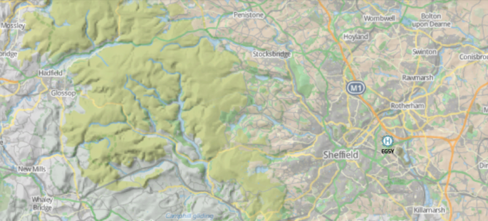
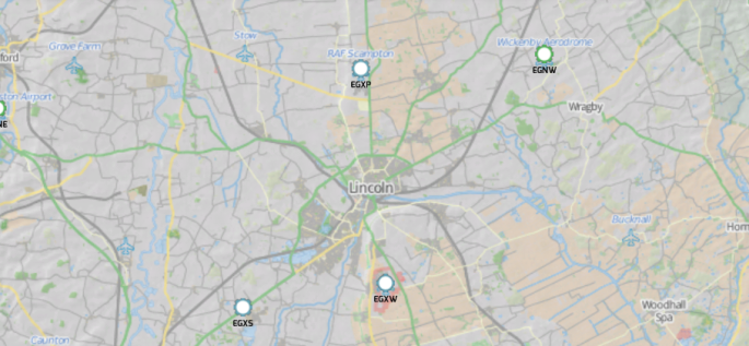
1 : 500 00 Charts
RocketRoute 1:500,000 Topographic Charts provide detailed terrain information for fixed wing navigation and flight planning.
Ideal for VFR and Yankee and Zulu flight planning.
Check examples of screenshots for the UK below.
If you any questions please contact our team at support@rocketroute.com